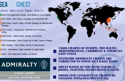
What Are Admiralty Charts?Admiralty charts are nautical charts issued by the United Kingdom Hydrographic Office and subject to Crown Copyright. They cover virtually the entire world in various levels of detail depending on the density of hazards and traffics. Charts on a larger scale often cover approaches and entrances to harbours, whereas medium-scale charts cover heavily used coastal areas, and small-scale charts are for navigation in more open areas. Admiralty planning aims to enhance on-board knowledge of route features and sea conditions and aim to improve decision making for the best routes in any situation. One of the most important characteristics is that an Admiralty chart is continually updated and corrected.
Where To Find Admiralty Charts?Many Admiralty charts have been found identified in the public records, however there are many that are still undiscovered. Maintained by the Hydrographic Office, the national record set of Admiralty charts remains an authorised place of deposit for its own records. It holds many related records and an almost complete set of printed Admiralty charts.
Using Admiralty Charts
There two specialised means of reference when searching for a particular chart: card index arranged in chart number order and microfiche copies of various editions of the published Catalogue of Admiralty Charts, Plans, and Sailing Instructions. Normally included in the descriptions are the chart number and descriptions of tracings or copies of charts. In addition, these also include the number of the original published chart where known. Moreover, Admiralty charts can be found by searching directly for place names which will also pick up some tracings, portions of charts and records relating to charts in great detail. However, making searches by geographical area are relatively straightforward. Admiralty Chart Catalogues also contain index maps, these are sometimes known as graphic indexes. The charts are listed within each area in a sequence that may reflect geographical logic or chart number.
Other Methods Of Searching
Descriptions normally include scales and the names of individual surveyors. Additionally, where charts are described in detail in catalogues, speculative searches of records may reveal previously unrecorded charts, as well as records relating to their creation or use.
It is recommended that Mariners look to use the largest available scale nautical chart best suited to their particular needs.
It is also the mariner's responsibility to maintain and correct the chart onwards to be in compliance with SOLAS regulations and to ensure safe navigation.

Don't forget to take a look at our full range of Admiralty charts, or find a chart by using our route planner functionality, so draw your route and select the charts you need. If you want to keep up to date with future Sea Chest blogs, the latest news and our new products, give us a like on Facebook, or follow us through Twitter: @seachestcharts.