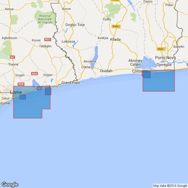
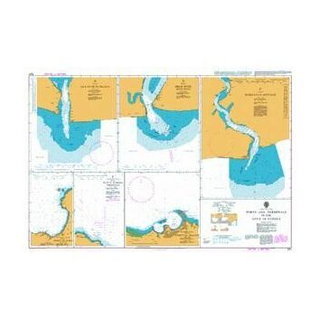
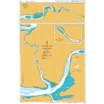
[A] Tago, Port de Lome. 1:15,000
6.06'-60N.---6.09'00N.,1.16'.00E--1.19'20E.
[B] Togo, Lome to Kpeme. 1:75,000
5.56'-0N.--6.13'8N., 1.12'4E.--- 1.33'0E
[C] Togo, Rade de Kpeme. 1:25,000
6.09'-0N.-6.13'-0N., 1.30'-25E.--1.33'-5E
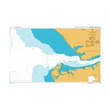
[D] Benin, Port de Cotonou. 1: 15,000
6.18'-5N.--6.22'1N., 2.24'5E.-----2.29'-2E
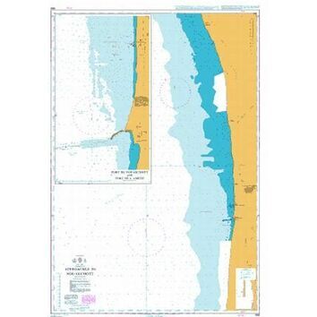
[E] Benin, Cotonou to Seme - Kpodji. 1:75,000
6.11'-0N.---6.22'-8N., 2.25'-0E.---2.42'-8E.
Standard Admiralty Charts are corrected in stock on a daily basis until despatched.
Code: 2625
About Our Admiralty Charts
Our Admiralty Charts are printed onto light chart paper that is supplied and watermarked by the UKHO. They are supplied on this paper to fulfil their primary purpose of being a navigation aid. If you wish to purchase a chart as an art print, please note that the chart is rolled to be posted and creases may occur. We recommend choosing our Courier Delivery shipping option at the checkout to reduce the risk of this occurring.