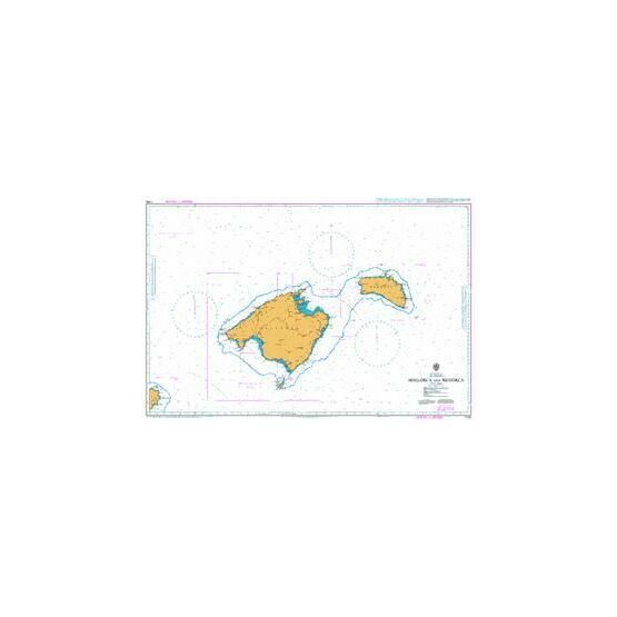
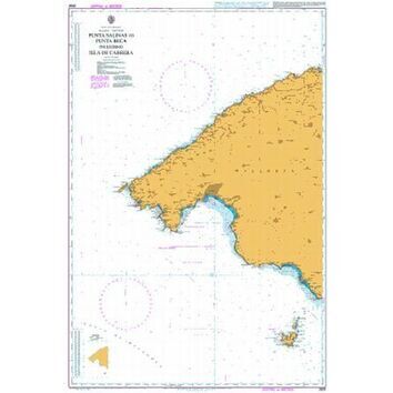
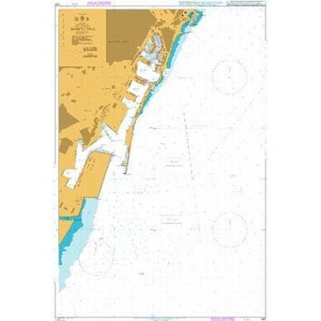
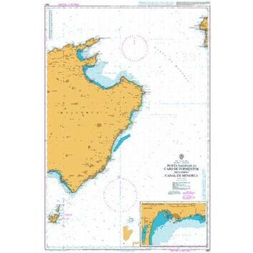
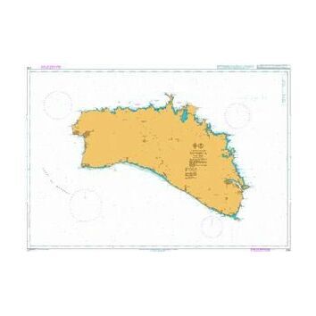
Chart Title: Mallorca and Menorca
Publication Date:
Latest Edition:
Published by: UK Hyrdrographic Office
Scale: 1:300,000
Size:
Size (Folded):
Standard Admiralty Charts are corrected in stock on a daily basis until despatched.
This nautical chart shows the area around Mallorca and Menorca (alternatively spelt as Majorca and Minorca, respectively), two Spanish Islands located in the Mediterranean Sea, near the eastern coast of the Iberian Peninsula. Both exist within an autonomous community of Spain known as the Balearic Islands, with the capital of the province being the city of Palma in Mallorca.
Along with Cabrera, these two islands can also be further grouped as the Gymnesian Islands, with a set of smaller surrounding smaller islands surrounding them. Both Mallorca and Menorca are extremely popular tourist destinations for European holidays.
This admiralty chart contains standard key information regarding Depths, Heights, Potions, Navigational Margs, Projection and Sources, along with specific recommended actions in relation to:
- Satellite Derived Positions
- Navigational Aids and Wrecks
- Tunny Fisheries
- Marine Reserves
- Area to be Avoided
- Fish Havens and Fish Traps
- Submarine Cables
- Submarine Exercise Area
Code: 2049
About Our Admiralty Charts
Our Admiralty Charts are printed onto light chart paper that is supplied and watermarked by the UKHO. They are supplied on this paper to fulfil their primary purpose of being a navigation aid. If you wish to purchase a chart as an art print, please note that the chart is rolled to be posted and creases may occur. We recommend choosing our Courier Delivery shipping option at the checkout to reduce the risk of this occurring.


