Toggle navigation
£0.00
(
0
)
Cart
Checkout
Wishlist
Follow us on Facebook
Read our Blog
ADMIRALTY CHART DELIVERY
Only £2.00
WORLDWIDE SHIPPING
Service available
SAILING & NAVIGATION EXPERTS
Over 25 years experience
NOT QUITE RIGHT?
14 day money back guarantee
Home
Paper Charts
Rest of the World
Folio 46 W. Coast of Sumatra & Apps Singapore
Folio 46 W. Coast of Sumatra & Apps Singapore
Sort By
Best Selling
Highest Rated
Popularity
Recently Added
Price - High to Low
Price - Low to High
A-Z
Z-A
View
36
72
144
All
35 products
Refine
1312 Singapore Strait to Selat Karimata Admiralty Chart
£35.00
Was:
£0.00
inc VAT
In Stock
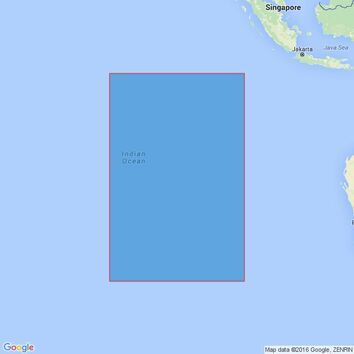
4714 Cocos (Keeling) Islands to Ile Saint-Paul Admiralty Chart
£35.00
Was:
£0.00
inc VAT
In Stock
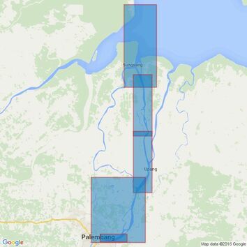
3476 Sungai Palembang Admiralty Chart
£35.00
Was:
£0.00
inc VAT
In Stock
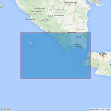
2862 Outer Approaches to Selat Sunda Admiralty Chart
£35.00
Was:
£0.00
inc VAT
In Stock
2642 Jingtang Gangqu Gangchi Admiralty Chart
£35.00
Was:
£0.00
inc VAT
In Stock
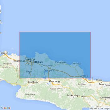
3729 Tanjungpriok to Cirebon Admiralty Chart
£35.00
Was:
£0.00
inc VAT
In Stock
3757 Gosong Aling to Pulau Pesemut Admiralty Chart
£35.00
Was:
£0.00
inc VAT
In Stock
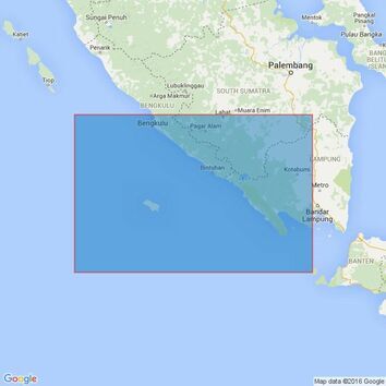
2781 Bengkulu to Selat Sunda Admiralty Chart
£35.00
Was:
£0.00
inc VAT
In Stock
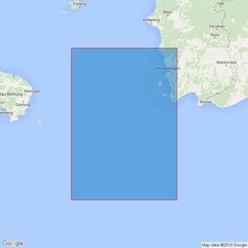
2794 Tanjung Sambar to Tanjung Selatan Admiralty Chart
£35.00
Was:
£0.00
inc VAT
In Stock
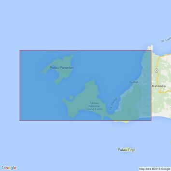
2056 Selat Sunda and Approaches including Selat Panaitan Admiralty Chart
£35.00
Was:
£0.00
inc VAT
In Stock
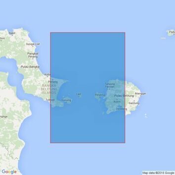
2872 Selat Karimata and Approaches Admiralty Chart
£35.00
Was:
£0.00
inc VAT
In Stock
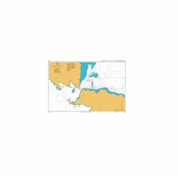
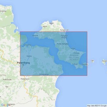
3471 Indonesia, Sumatera - East Coast, Selat Bangka and Approaches to Sungai Palembang and Pangkalbalam Admiralty Chart
£35.00
Was:
£0.00
inc VAT
In Stock
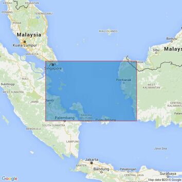
2470 Singapore Strait to Selat Sunda including Java Sea Admiralty Chart
£35.00
Was:
£0.00
inc VAT
In Stock
3948 Selat Durian Admiralty Chart
£35.00
Was:
£0.00
inc VAT
In Stock
3758 Pulau Pesemut to Pulau Pulau Leman Admiralty Chart
£35.00
Was:
£0.00
inc VAT
In Stock
2873 Selat Gelasa and Approaches Admiralty Chart
£35.00
Was:
£0.00
inc VAT
In Stock
932 Pelabuhan Tanjungpriok and Inner Approaches Admiralty Chart
£35.00
Was:
£0.00
inc VAT
In Stock
2965 Ports and Approaches in Southern Sumatera Admiralty Chart
£35.00
Was:
£0.00
inc VAT
In Stock
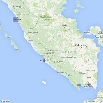
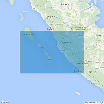
2760 Sumatera West Coast Pulau We to Pulau Enggano Admiralty Chart
£35.00
Was:
£0.00
inc VAT
In Stock
2785 Pulau Enggano to Selat Sunda Admiralty Chart
£35.00
Was:
£0.00
inc VAT
In Stock
2779 Pulau Ilir to Pulau Nyamuk Admiralty Chart
£35.00
Was:
£0.00
inc VAT
In Stock
909 Indonesia, Sumatera and Jawa, Selat Sunda Admiralty Chart
£35.00
Was:
£0.00
inc VAT
In Stock
1789 Pulau-Pulau Lingga Admiralty Chart
£35.00
Was:
£0.00
inc VAT
In Stock
2644 Huanghua Gang Gangchi Admiralty Chart
£35.00
Was:
£0.00
inc VAT
In Stock
3471 Selat Bangka and Approaches to Pangkalbalam Admiralty Chart
£35.00
Was:
£0.00
inc VAT
In Stock
3949 Selat Riau Admiralty Chart
£35.00
Was:
£0.00
inc VAT
In Stock
3690 Dayao Wan and Approaches Admiralty Chart
£35.00
Was:
£0.00
inc VAT
In Stock
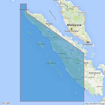
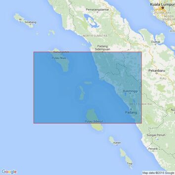
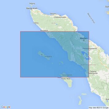
400 Ujung Karang to Sibolga Admiralty Chart
£35.00
Was:
£0.00
inc VAT
In Stock
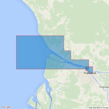
3721 Pulau-Pulau Leman to Sungai Kapuas Kecil Admiralty Chart
£35.00
Was:
£0.00
inc VAT
In Stock
2780 Pulau Nyamuk to Bengkulu Admiralty Chart
£35.00
Was:
£0.00
inc VAT
In Stock
1280 Approaches to Bayuquan Gangqu and Xianrendao Gangqu Admiralty Chart
£35.00
Was:
£0.00
inc VAT
In Stock
2137 Selat Gelasa Admiralty Chart
£35.00
Was:
£0.00
inc VAT
In Stock
2869 Outer Approaches to Singapore Strait Admiralty Chart
£35.00
Was:
£0.00
inc VAT
In Stock
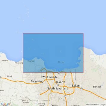
933 Approaches to Tanjungpriok Admiralty Chart
£35.00
Was:
£0.00
inc VAT
In Stock
2795 Madura to Pulau Laut Admiralty Chart
£35.00
Was:
£0.00
inc VAT
In Stock
You've viewed 35 of 35 products
Filters
Price
Price
0
selected
Price
All
0
selected
Price
Clear
£25 to £50
(35)
£
to £
Brands
Brands
0
selected
Brands
All
0
selected
Brands
Clear
Admiralty
(35)
Close
View items
Shop by brand
SIGN UP TO OUR NEWSLETTER
Stay up to date with new products and deals!
Paper Charts
Atlantic
Folio 79 St Lawrence Gulf & River
Azores
Bermuda
Cabo Verde
Canaries and Madeira
Folio 19 Eastern North Atlantic Ocean
Folio 20 North West Coast of Africa
Folio 24 N. Africa Gibraltar Str to Port Said
Folio 34 South West Coast of Africa
Folio 35 E. South Atlantic, S. Africa & S. Ocean
Folio 76 Labrador, W.Greenland, Canadian Arctic
Folio 78 Newfoundland
Folio 79 St. Lawrence Gulf & River
Folio 80 Cape Breton, Nova Scotia & Bay of Fundy
Folio 81 East Coast of United States of America
Folio 82 Western North Atlantic Ocean
Folio 83 Gulf of Mexico & Apps.
Folio 88 Panama Canal & Approaches
North Atlantic Ocean Routeing Charts
South Atlantic Ocean Routeing Charts
British Isles
Bristol Channel - Lands End to Milford Haven
Channel Islands and Adjacent Coasts of France
England - Dover to Felixstowe, Thames Estuary, R. Thames
England - East Coast - R. Humber North to Berwick
England - East Coas t- Felixstowe to R. Humber
England - Liverpool to Portpatrick inc. Isle of Man
England - South Coast - Dartmouth to Dover
England - West Country - Isles of Scilly to Dartmouth
Folio 1 South Coast of England
Folio 2 Bristol Channel and S. Coast of Ireland
Folio 3 Irish Sea, F. of Clyde, North of Ireland
Folio 5 West Coast of Scotland
Folio 6 N & E Coast Scotland, Orkney & Shetland
Folio 7 North Sea F. of Forth to Thames Entrance
Folio 8 Rivers Thames & Medway and Approaches
Folio4 West Coast of Ireland
Ireland - East Coast
Ireland - North Coast
Ireland - South Coast
Ireland - West Coast
Major UK Passage Charts
Scotland - East Coast
Scotland - North Coast and Orkney
Scotland - West Coast - N. Channel to Skye
Scotland - Western Isles
Shetland Islands
Wales - Milford Haven to Liverpool
Caribbean
Folio 84 Eastern part of South Coast of Cuba.
Folio 85 East Coast of Central America
Folio 86 W. Indies, S. Salv'r & Jamaica to Antigua
Folio 87 Guadelope to Trinidad
Leeward Islands
Windward islands Inc. Barbados
Mediterranean
Adriatic Sea
Corsica and Sardinia
Crete
Cyprus
Eastern Sporades
Evia and the Northern Sporades
Folio 18 W. Spain, Portugal & Strait of Gibraltar
Folio 25 Mediterranean Coasts of Spain & France
Folio 26 West Coast of Italy
Folio 27 Adriatic & West Coast of Greece
Folio 28 Crete & Western Aegean Sea
Folio 29 East Aegean & Sea of Marmara
Folio 30 E. Med. Rhodes to El Arish inc. Cyprus
Ionian Sea - Corfu to Zante
Italy West Coast- Sicilia - Malta
Major Mediterranean Passage Charts
Mediterranean - Spain inc. Islas Baleares
Mediterranean France
Northern Greece
Peloponnisos, Gulf of Patras & Corinth
Saronic and E. Peloponnisos
The Cyclades
The Dodecanese
Northern Europe
Folio 11 Gulfs of Finland & Bothnia
Belgium & The Netherlands
Folio 10 The Baltic Sea
Folio 11 Gulfs of Finland and Bothnia
Folio 12 Northern Shores of Skagerrak
Folio 13 West Coast of Norway
Germany, Netherlands, Baltic, Scandinavia, Iceland
Folio 14 Norway North of Trondheim to White Sea
Folio 15 Faeroe, Greenland & Spitsbergen
Folio 16 North Coast of France & Channel Islands
Folio 17 Bay of Biscay
Folio 9 E. Shores of N. Sea, Calais to The Skaw
France - Dunkerque to Cherbourg
France - North Brittany - St. Malo to Ushant
France - South Brittany - Ushant to Spanish Border
Spain - North Coast - San Sebastian to La Coruna
W. Coasts of Spain & Portugal - La Coruna to Gibraltar
Pacific
Folio 52 Yellow Sea & Gulf of Pothai etc.
Folio 89 West Coasts of Central America & US
North Pacific Ocean Routeing Charts
South Pacific Ocean Routeing Charts
Folio 52 Yellow Sea & Gulf of Pothai, etc.
Folio 53 Western & Southern Coasts of Japan
Folio 54 Inland Sea of Japan
Folio 55 Northern Honshu & Hokkaido
Folio 56 Korean Gulf, Siberia, Sakhalin & Kuril
Folio 57 North West Pacific Ocean
Folio 58 East Sulawesi to West New Guinea
Folio 60 Java to the Arafura Sea
Folio 63 North West Coast of Australia
Folio 64 South West Coast of Australia
Folio 65 S.E. Coast of Australia and Tasmania
Folio 66 East Coast of Australia
Folio 67 East New Guinea & Bismark Archipelago
Folio 68 New Caledonia, New Hebrides, S.Cruz etc
Folio 70 Fiji, Tonga, Samoa & Ellice Islands
Folio 71 New Zealand, North Island & Cook Strait
Folio 72 New Zealand, South Island.
Folio 73 South Eastern Pacific Ocean
Folio 74 North Eastern Pacific Ocean
Folio 89 West Coast of Central America & U.S.A.
Folio 90 W.Coast N.America, C.Medocino to V'couver
Folio 91 British Columbia
Folio 92 Alaska & Bering Strait
Folio 95 E.Coast South America C.Norte to B.Aires
Folio 96 E.Coast S.America, S.Part & Falklands
Folio 97 Magellan Strait, C. Horn to Antarctic
Folio 98 West Coast of South America
Folio 100 Antarctica
Rest of the World
Folio 41 West Coast of Pakistan & India
Folio 47 Western Side of China Sea
Folio 58 E. Sulawesi to W. New Guinea & S.E. Philippine Islands
Folio 60 Jawa to Arafura Sea
Folio 31 Black Sea & Sea of Azamov
Folio 32 Red Sea, Gulf of Aden & Arabian Sea
Folio 36 East Coast of Africa
Folio 37 Madagascar
Folio 38 Chagos Archipelago, Mauritius & Reunion
Folio 40 Gulf of Arabia
Folio 41 Pakistan and West Coast of India
Folio 42 Sri Lanka & Approaches
Folio 43 East India to Burma & Andaman Islands
Folio 45 Malacca Strait
Folio 46 W. Coast of Sumatra & Apps Singapore
Folio 47 Western China Sea
Folio 48 East China Sea & Sulu Sea
Folio 50 Hong Kong to Yangtze Kiang & T'ai-wan
Folio 59 S.& E. Borneo to W. Coast of Sulawesi
Indian Ocean Routeing Charts
Admiralty Charts
Admiralty Small Craft Charts
Admiralty 5600 The Solent Small Craft Charts
Admiralty 5606 Thames Estuary Small Craft Charts
Admiralty 5607 Thames Estuary Small Craft Charts
Admiralty 5609 North West Wales Small Craft Charts
Admiralty 5610 Firth of Clyde Small Craft Charts
Admiralty 5611 West Coast of Scotland Small Craft Charts
Admiralty 5612 Northern Ireland Small Craft Charts
Admiralty 5613 Irish Sea (Eastern Part) Small Craft Charts
Admiralty 5615 East Coast Small Craft Charts
Admiralty 5617 East Coast Scotland Small Craft Charts
Admiralty 5620 South West Wales Small Craft Charts
Admiralty 5621 East Coast Ireland Small Craft Charts
Admiralty 5601 East Devon & Dorset Coast Small Craft Charts
Admiralty 5602 The West Country Small Craft Charts
Admiralty 5603 South & West Cornwall Small Craft Charts
Admiralty 5604 The Channel Islands Small Craft Charts
Admiralty 5605 Chichester to Ramsgate Small Craft Charts
Admiralty 5608 Bristol Channel Small Craft Charts
Admiralty 5614 East Coast Small Craft Charts
Admiralty 5616 Scotland West Coast / Outer Hebrides Small Craft Charts
Admiralty 5622 South Coast Ireland Small Craft Charts
Admiralty 5623 South West Coast Ireland Small Craft Charts
Standard Admiralty Charts
Admiralty Planning Charts of the World
The World - General Charts of the Oceans
Useful Chart Information
Routeing Charts and Gnomonic Charts
Gnomonic Charts
Instructional, Practice and Miscellaneous Charts
Instructional Charts
Miscellaneous Charts
Admiralty Sailing Directions (Pilots)
Imray Charts
UK & Ireland & full C & Y list
France, Spain & North Sea
Mediterranean & Greek Waters
Atlantic & Caribbean
NV Charts
Electronic Charts
Navionics
Navionics Platinum
Instruments
Plotting Instruments
Sextants
Navigation Kits
Books
Almanacs
Build & Design
Children's Books
Fiction
Historical
Instructional Books
Electronics, Comms & Radar
First Aid & Safety
Knots, Rigging & Sails
Navigation
Racing & Competing
Rules of the Road
Seamanship & Handling
Weather & Meteorology
Logbooks
Maintenance
Teaching Aids
Cockpit Cards
Flip Cards
Non Fiction
Pilots & Guides
Atlantic Ocean
Caribbean Sea
Indian Ocean / Asia-Pacific
Mediterranean Sea
Northern Europe & Arctic Ocean
Pacific Ocean
UK & Ireland
Tidal Information
Sale
Commercial
Basic Navigation
Cargo, Stowage & Transporation
IMO Publications
Lights & Radio Signals
MCA Publications
Medical & First Aid
Gifts
Colouring Books
Hannah Wisdom
Emma Ball
Sailing Accessories
Sailing Flags
Find Charts
Superyacht Services
Delivery
Returns
Contact Us
Login
▼
▼
Close
Home
Delivery
Returns
Testimonials
Contact Us
Login