Sea Chest

£0.00 (0) Cart Checkout

Wishlist
Sea Chest
  • Follow us on Facebook
  • Read our Blog
  • ADMIRALTY CHART DELIVERY
    Across the UK
  • WORLDWIDE SHIPPING
    Service available
  • SAILING & NAVIGATION EXPERTS
    Over 25 years experience
  • NOT QUITE RIGHT?
    14 day money back guarantee
  1. Home
  2. Paper Charts
  3. Mediterranean

Mediterranean

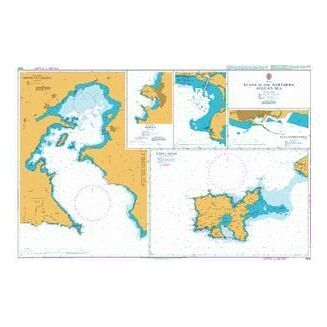
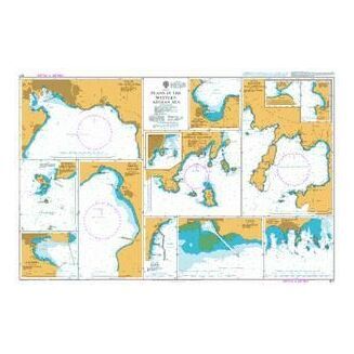
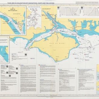
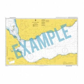
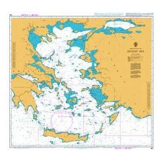
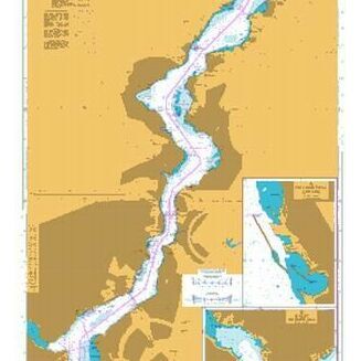
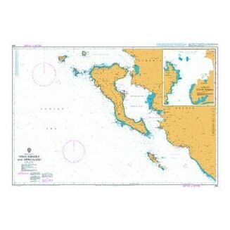
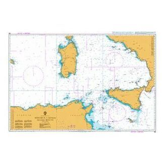
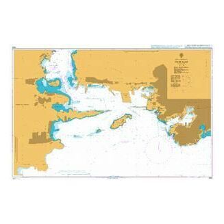
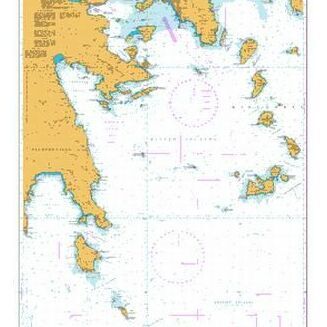
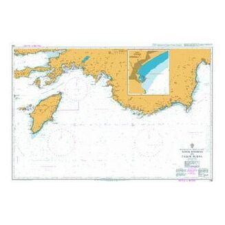
A sea connecting many attractive and well known coastlines. Our extensive range of admiralty charts feature useful passages for seafarers as well as subdivisions such as the Adriatic Sea to help you navigate effectively around the most desirable routes and destinations.

Show descriptionHide description
Products in this category 4.5/5
Rated by 26 customers
Adriatic SeaAdriatic Sea
Corsica and SardiniaCorsica and Sardinia
CreteCrete
CyprusCyprus
Eastern SporadesEastern Sporades
Evia and the Northern SporadesEvia and the Northern Sporades
Folio 18 W. Spain, Portugal & Strait of GibraltarFolio 18 W. Spain, Portugal & Strait of Gibraltar
Folio 25 Mediterranean Coasts of Spain & FranceFolio 25 Mediterranean Coasts of Spain & France
Folio 26 West Coast of ItalyFolio 26 West Coast of Italy
Folio 27 Adriatic & West Coast of GreeceFolio 27 Adriatic & West Coast of Greece
Folio 28 Crete & Western Aegean SeaFolio 28 Crete & Western Aegean Sea
Folio 29 East Aegean & Sea of MarmaraFolio 29 East Aegean & Sea of Marmara
Folio 30 E. Med. Rhodes to El Arish inc. CyprusFolio 30 E. Med. Rhodes to El Arish inc. Cyprus
Ionian Sea - Corfu to ZanteIonian Sea - Corfu to Zante
Italy West Coast- Sicilia - MaltaItaly West Coast- Sicilia - Malta
Major Mediterranean Passage ChartsMajor Mediterranean Passage Charts
Mediterranean - Spain inc. Islas BalearesMediterranean - Spain inc. Islas Baleares
Mediterranean FranceMediterranean France
Northern GreeceNorthern Greece
Peloponnisos, Gulf of Patras & CorinthPeloponnisos, Gulf of Patras & Corinth
Saronic and E. PeloponnisosSaronic and E. Peloponnisos
The CycladesThe Cyclades
The DodecaneseThe Dodecanese
Shop by brand
  • Navionics
  • Meridian Zero
  • Admiralty
  • Royal Yachting Association
  • Reeds
  • IMO
  • Imray
  • Fernhurst Books
Sea Chest
  • 020 3354 5017
  • sales@seachest.co.uk
  • Follow us on Facebook
  • Read our Blog

Address

  • Sea Chest
    149 Stoke Newington Road
    London
    N16 8BP

Quick Links

    • Paper Charts
    • Electronic Charts
    • Instruments
    • Books
    • Commercial
    • Gifts

Support

  • Testimonials
  • Delivery
  • Returns
  • Privacy Policy
  • Terms & Conditions
  • UKHO Downloads
  • Newsletter
  • About Us
association logos
Safe and secure payment with Paypal
Reviews
  • Paper Charts
    • Atlantic
      • Folio 79 St Lawrence Gulf & River
      • Azores
      • Bermuda
      • Cabo Verde
      • Canaries and Madeira
      • Folio 19 Eastern North Atlantic Ocean
      • Folio 20 North West Coast of Africa
      • Folio 24 N. Africa Gibraltar Str to Port Said
      • Folio 34 South West Coast of Africa
      • Folio 35 E. South Atlantic, S. Africa & S. Ocean
      • Folio 76 Labrador, W.Greenland, Canadian Arctic
      • Folio 78 Newfoundland
      • Folio 79 St. Lawrence Gulf & River
      • Folio 80 Cape Breton, Nova Scotia & Bay of Fundy
      • Folio 81 East Coast of United States of America
      • Folio 82 Western North Atlantic Ocean
      • Folio 83 Gulf of Mexico & Apps.
      • Folio 88 Panama Canal & Approaches
      • North Atlantic Ocean Routeing Charts
      • South Atlantic Ocean Routeing Charts
    • British Isles
      • Bristol Channel - Lands End to Milford Haven
      • Channel Islands and Adjacent Coasts of France
      • England - Dover to Felixstowe, Thames Estuary, R. Thames
      • England - East Coast - R. Humber North to Berwick
      • England - East Coas t- Felixstowe to R. Humber
      • England - Liverpool to Portpatrick inc. Isle of Man
      • England - South Coast - Dartmouth to Dover
      • England - West Country - Isles of Scilly to Dartmouth
      • Folio 1 South Coast of England
      • Folio 2 Bristol Channel and S. Coast of Ireland
      • Folio 3 Irish Sea, F. of Clyde, North of Ireland
      • Folio 5 West Coast of Scotland
      • Folio 6 N & E Coast Scotland, Orkney & Shetland
      • Folio 7 North Sea F. of Forth to Thames Entrance
      • Folio 8 Rivers Thames & Medway and Approaches
      • Folio4 West Coast of Ireland
      • Ireland - East Coast
      • Ireland - North Coast
      • Ireland - South Coast
      • Ireland - West Coast
      • Major UK Passage Charts
      • Scotland - East Coast
      • Scotland - North Coast and Orkney
      • Scotland - West Coast - N. Channel to Skye
      • Scotland - Western Isles
      • Shetland Islands
      • Wales - Milford Haven to Liverpool
    • Caribbean
      • Folio 84 Eastern part of South Coast of Cuba.
      • Folio 85 East Coast of Central America
      • Folio 86 W. Indies, S. Salv'r & Jamaica to Antigua
      • Folio 87 Guadelope to Trinidad
      • Leeward Islands
      • Windward islands Inc. Barbados
    • Mediterranean
      • Adriatic Sea
      • Corsica and Sardinia
      • Crete
      • Cyprus
      • Eastern Sporades
      • Evia and the Northern Sporades
      • Folio 18 W. Spain, Portugal & Strait of Gibraltar
      • Folio 25 Mediterranean Coasts of Spain & France
      • Folio 26 West Coast of Italy
      • Folio 27 Adriatic & West Coast of Greece
      • Folio 28 Crete & Western Aegean Sea
      • Folio 29 East Aegean & Sea of Marmara
      • Folio 30 E. Med. Rhodes to El Arish inc. Cyprus
      • Ionian Sea - Corfu to Zante
      • Italy West Coast- Sicilia - Malta
      • Major Mediterranean Passage Charts
      • Mediterranean - Spain inc. Islas Baleares
      • Mediterranean France
      • Northern Greece
      • Peloponnisos, Gulf of Patras & Corinth
      • Saronic and E. Peloponnisos
      • The Cyclades
      • The Dodecanese
    • Northern Europe
      • Folio 11 Gulfs of Finland & Bothnia
      • Belgium & The Netherlands
      • Folio 10 The Baltic Sea
      • Folio 11 Gulfs of Finland and Bothnia
      • Folio 12 Northern Shores of Skagerrak
      • Folio 13 West Coast of Norway
      • Germany, Netherlands, Baltic, Scandinavia, Iceland
      • Folio 14 Norway North of Trondheim to White Sea
      • Folio 15 Faeroe, Greenland & Spitsbergen
      • Folio 16 North Coast of France & Channel Islands
      • Folio 17 Bay of Biscay
      • Folio 9 E. Shores of N. Sea, Calais to The Skaw
      • France - Dunkerque to Cherbourg
      • France - North Brittany - St. Malo to Ushant
      • France - South Brittany - Ushant to Spanish Border
      • Spain - North Coast - San Sebastian to La Coruna
      • W. Coasts of Spain & Portugal - La Coruna to Gibraltar
    • Pacific
      • Folio 52 Yellow Sea & Gulf of Pothai etc.
      • Folio 89 West Coasts of Central America & US
      • North Pacific Ocean Routeing Charts
      • South Pacific Ocean Routeing Charts
      • Folio 52 Yellow Sea & Gulf of Pothai, etc.
      • Folio 53 Western & Southern Coasts of Japan
      • Folio 54 Inland Sea of Japan
      • Folio 55 Northern Honshu & Hokkaido
      • Folio 56 Korean Gulf, Siberia, Sakhalin & Kuril
      • Folio 57 North West Pacific Ocean
      • Folio 58 East Sulawesi to West New Guinea
      • Folio 60 Java to the Arafura Sea
      • Folio 63 North West Coast of Australia
      • Folio 64 South West Coast of Australia
      • Folio 65 S.E. Coast of Australia and Tasmania
      • Folio 66 East Coast of Australia
      • Folio 67 East New Guinea & Bismark Archipelago
      • Folio 68 New Caledonia, New Hebrides, S.Cruz etc
      • Folio 70 Fiji, Tonga, Samoa & Ellice Islands
      • Folio 71 New Zealand, North Island & Cook Strait
      • Folio 72 New Zealand, South Island.
      • Folio 73 South Eastern Pacific Ocean
      • Folio 74 North Eastern Pacific Ocean
      • Folio 89 West Coast of Central America & U.S.A.
      • Folio 90 W.Coast N.America, C.Medocino to V'couver
      • Folio 91 British Columbia
      • Folio 92 Alaska & Bering Strait
      • Folio 95 E.Coast South America C.Norte to B.Aires
      • Folio 96 E.Coast S.America, S.Part & Falklands
      • Folio 97 Magellan Strait, C. Horn to Antarctic
      • Folio 98 West Coast of South America
      • Folio 100 Antarctica
    • Rest of the World
      • Folio 41 West Coast of Pakistan & India
      • Folio 47 Western Side of China Sea
      • Folio 58 E. Sulawesi to W. New Guinea & S.E. Philippine Islands
      • Folio 60 Jawa to Arafura Sea
      • Folio 31 Black Sea & Sea of Azamov
      • Folio 32 Red Sea, Gulf of Aden & Arabian Sea
      • Folio 36 East Coast of Africa
      • Folio 37 Madagascar
      • Folio 38 Chagos Archipelago, Mauritius & Reunion
      • Folio 40 Gulf of Arabia
      • Folio 41 Pakistan and West Coast of India
      • Folio 42 Sri Lanka & Approaches
      • Folio 43 East India to Burma & Andaman Islands
      • Folio 45 Malacca Strait
      • Folio 46 W. Coast of Sumatra & Apps Singapore
      • Folio 47 Western China Sea
      • Folio 48 East China Sea & Sulu Sea
      • Folio 50 Hong Kong to Yangtze Kiang & T'ai-wan
      • Folio 59 S.& E. Borneo to W. Coast of Sulawesi
      • Indian Ocean Routeing Charts
    • Admiralty Charts
      • Admiralty Small Craft Charts
        • Admiralty 5600 The Solent Small Craft Charts
        • Admiralty 5606 Thames Estuary Small Craft Charts
        • Admiralty 5607 Thames Estuary Small Craft Charts
        • Admiralty 5609 North West Wales Small Craft Charts
        • Admiralty 5610 Firth of Clyde Small Craft Charts
        • Admiralty 5611 West Coast of Scotland Small Craft Charts
        • Admiralty 5612 Northern Ireland Small Craft Charts
        • Admiralty 5613 Irish Sea (Eastern Part) Small Craft Charts
        • Admiralty 5615 East Coast Small Craft Charts
        • Admiralty 5617 East Coast Scotland Small Craft Charts
        • Admiralty 5620 South West Wales Small Craft Charts
        • Admiralty 5621 East Coast Ireland Small Craft Charts
        • Admiralty 5601 East Devon & Dorset Coast Small Craft Charts
        • Admiralty 5602 The West Country Small Craft Charts
        • Admiralty 5603 South & West Cornwall Small Craft Charts
        • Admiralty 5604 The Channel Islands Small Craft Charts
        • Admiralty 5605 Chichester to Ramsgate Small Craft Charts
        • Admiralty 5608 Bristol Channel Small Craft Charts
        • Admiralty 5614 East Coast Small Craft Charts
        • Admiralty 5616 Scotland West Coast / Outer Hebrides Small Craft Charts
        • Admiralty 5622 South Coast Ireland Small Craft Charts
        • Admiralty 5623 South West Coast Ireland Small Craft Charts
      • Standard Admiralty Charts
        • Admiralty Planning Charts of the World
        • The World - General Charts of the Oceans
        • Useful Chart Information
      • Routeing Charts and Gnomonic Charts
        • Gnomonic Charts
      • Instructional, Practice and Miscellaneous Charts
        • Instructional Charts
        • Miscellaneous Charts
      • Admiralty Sailing Directions (Pilots)
    • Imray Charts
      • UK & Ireland & full C & Y list
      • France, Spain & North Sea
      • Mediterranean & Greek Waters
      • Atlantic & Caribbean
    • NV Charts
  • Electronic Charts
    • Navionics
      • Navionics Platinum
  • Instruments
    • Plotting Instruments
    • Sextants
    • Navigation Kits
  • Books
    • Almanacs
    • Build & Design
    • Children's Books
    • Fiction
    • Historical
    • Instructional Books
      • Electronics, Comms & Radar
      • First Aid & Safety
      • Knots, Rigging & Sails
      • Navigation
      • Racing & Competing
      • Rules of the Road
      • Seamanship & Handling
      • Weather & Meteorology
    • Logbooks
    • Maintenance
    • Teaching Aids
      • Cockpit Cards
      • Flip Cards
    • Non Fiction
    • Pilots & Guides
      • Atlantic Ocean
      • Caribbean Sea
      • Indian Ocean / Asia-Pacific
      • Mediterranean Sea
      • Northern Europe & Arctic Ocean
      • Pacific Ocean
      • UK & Ireland
    • Tidal Information
    • Sale
  • Commercial
    • Basic Navigation
    • Cargo, Stowage & Transporation
    • IMO Publications
    • Lights & Radio Signals
    • MCA Publications
    • Medical & First Aid
  • Gifts
    • Colouring Books
    • Hannah Wisdom
    • Emma Ball
    • Mugs
    • Sailing Accessories
    • Sailing Flags
  • Find Charts
  • Superyacht Services
  • Delivery
  • Returns
  • Contact Us
  • Login
▼
▼
Close
  • Home
  • Delivery
  • Returns
  • Testimonials
  • Contact Us
  • Login