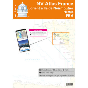
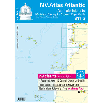
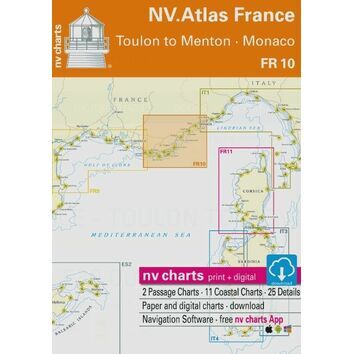
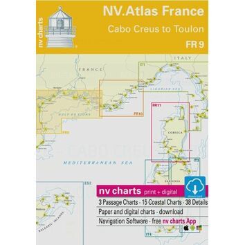
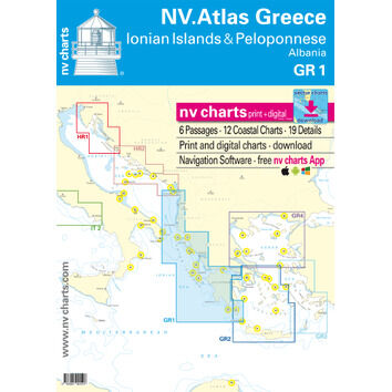
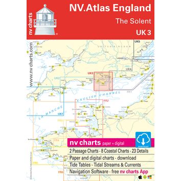
Practical and easy to use, NV charts are the first sea charts of their kind that are easy to view, are more robust than traditional paper sea chats, and which can be used in conjunction with the handy NV charts app which is a great tool to help you navigate on mobile devices with NV charts marine boating cartography.
Covering Europe, these maps are fantastic for trips and holidays, whilst providing a fail safe method of navigation if you're not near an internet connection.