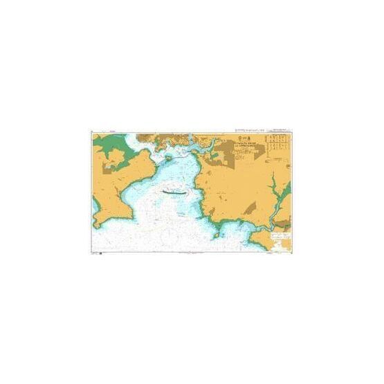
Chart Title: Plymouth Sound and Approaches Publication Date: Mar, 1986 Latest Edition: Sep, 2016 Published by: UK Hydrographic Office Scale: 1:12,500
Standard Admiralty Charts are corrected in stock on a daily basis until despatched.
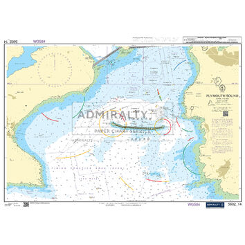
This Admirality chart covers the sea area of our own city of Plymouth, providing nautical coverage from the River Yealm to Rame Head and Plymouth Sound south of Drake's Island. Please note that North of Drake's Island and the entrances to the Plym and Tamar are do not contain hydrographic depth information.
Royal navy ships and large commercial vessels use the Sound from Millbay Docks, whilst fishing vessels use it from Sutton Harbour beside the old town of Plymouth known as the Barbican. In the centre of the Sound is the Plymouth Breakwater; which forms the harbour protecting anchored ships from the frequent storms of the South West.
Plymouth Sound has three water entrances; the marine entrance from the English channel to the South, with a deep-water channel to the west of the Plymouth Breakwater. Approach to the Plymouth Sound requires 10 knots, 8 knots in Cattewater and 5 nots on approaches to the Marinas (dead slow within marinas). The port is under the control of the Queens Harbourmaster, and warships have absolute right of way. Plymouth Sound itself is so large and deep that pleasure craft should have no trouble keeping out of the shipping channels.
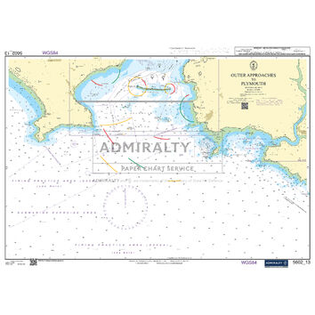
Approaching Plymouth Sound from the West, the visiting yachtsman or motorboater will pass Rame Head and then Penlee Point, which has the Draystone Rocks extending for about a quarter of a mile to the SE.
This United Kingdom Hydrographic Office (UKHO) nautical chart, from the International Chart Series, includes notes for:
- National Horizontal Datum
- Fixed Lights
- Compass Adjustment
- Areas where Anchoring is Prohibited
- Firing Practice Areas
- Surfaced Submarines
- Diving Areas
- Bathing Areas
- Operational Sea Training for warships and auxiliaries
- Historick Wreck sites
- Royal Navy Training areas
Code: 133
About Our Admiralty Charts
Our Admiralty Charts are printed onto light chart paper that is supplied and watermarked by the UKHO. They are supplied on this paper to fulfil their primary purpose of being a navigation aid. If you wish to purchase a chart as an art print, please note that the chart is rolled to be posted and creases may occur. We recommend choosing our Courier Delivery shipping option at the checkout to reduce the risk of this occurring.


